Mason County, WV - An Archaeological Treasure |
||||||||||||||||
|
||||||||||||||||
|
Mason
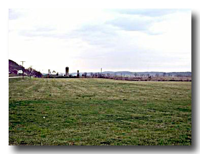
County The wide, flat floodplains along the Kanawha and Ohio rivers have attracted people to what is now Mason County for thousands of years. The county is unique in WV for its topography and rich alluvial soils.
|
 |
|||||||||||||||
 |
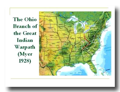
The Kanawha River is a segment of a major Indian trail that was used by native people for thousands of years before the arrival of Europeans. In 1928, William E. Myer compiled a list of Indian trails in eastern North America for the Bureau of American Ethnology. In this report Myer detailed what he called the Ohio Branch of the Great Indian Warpath. The Ohio Branch extended from Creek territory in Georgia and Alabama, north through eastern Tennessee and southwestern Virginia to the New and Kanawha rivers. It then followed the Kanawha River to the mouth where several trails met. The main trail continued in a northwesterly direction through Ohio to Lake Erie (Myer 1928). |
|||||||||||||||
| In
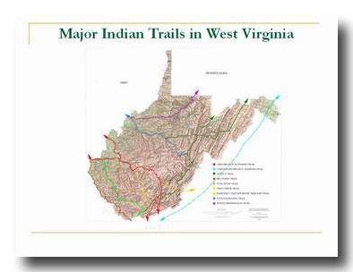
West Virginia, a portion of this trail also called the Kanawha or Buffalo Trail and
runs along the Midland Trail & Route 60.
Map compiled from data from Myer 1928 |
 |
|||||||||||||||
 |
Pre-Contact history in North America is divided into several periods by archaeologists, based on differences in the lifestyles of the indigenous people. The table illustrates the approximate time periods and some of their characteristics. The earliest period defined is the Paleo-Indian period which began at least 10 to 12,000 years ago, although recent discoveries throughout North and South America are pushing the dates even farther back in time. Projectile points have been found from the Paleo-Indian period in Mason County that are at least 10,000 years old. |
|||||||||||||||
|
||||||||||||||||